The MISBAR project
Learn more about MISBAR
In 2020, as part of a GMES&Africa project and for the OSS, AfEOS had to set up a monitoring platform called MISBAR

For the implementation of this platform, AfEOS had to configure and install a 140 TB server for the OSS. To set up an interactive website retrieving satellite data from ESA (Sentinel 1/2/3), USGS (landsat data), C3S (Climate Change Service) or NASA (for GPM data) with a data processing system on the fly.
For a simpler visualisation of the data, dashboards, indicators and geoservices have also been set up.
Finally, in order to ensure that all the functionalities of the platform are well acquired by the client, AfEOS also organised training sessions on the use of the platform.
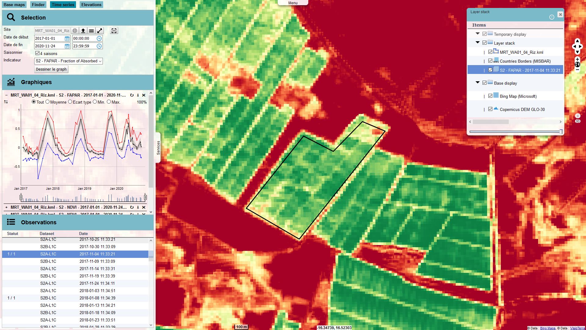
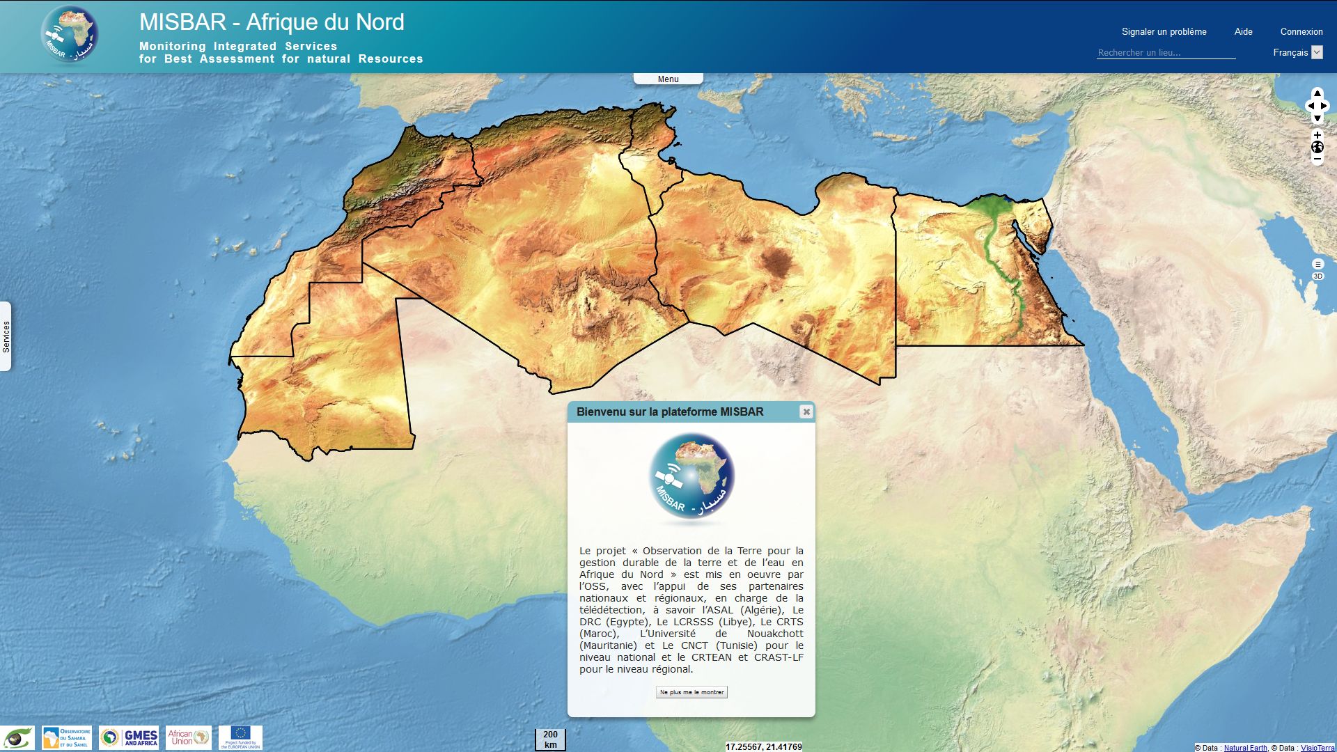
MISBAR (Monitoring Integrated Services for Best Assessment for natural Resources) is a platform dedicated to water and agriculture that allows any type of user to monitor the areas they define.
The platform allows, to carry out this monitoring action, to choose indicators like the vegetation index or the FAPAR.
This tool can therefore be used by the farmer who wishes to monitor his field or by a decision-maker who has to make heavy decisions on a national scale.
MISBAR is able to :
- synchronize catalogs with data providers
- préparer les données en téléchargeant les produits
- synchronize catalogs with data providers
- share views using URLs called "hyperlooks
- export the processed views in different formats
- calculate biogeophysical indicators
- offer dashboards showing the evolution of these indicators
- automatically produce periodic bulletins