Our services
Find here the different AfEOS services
Studies and monitoring of land use/ land cover
AfEOS offers land use / land cover production allowing for example to obtain surface moisture maps.
![]()
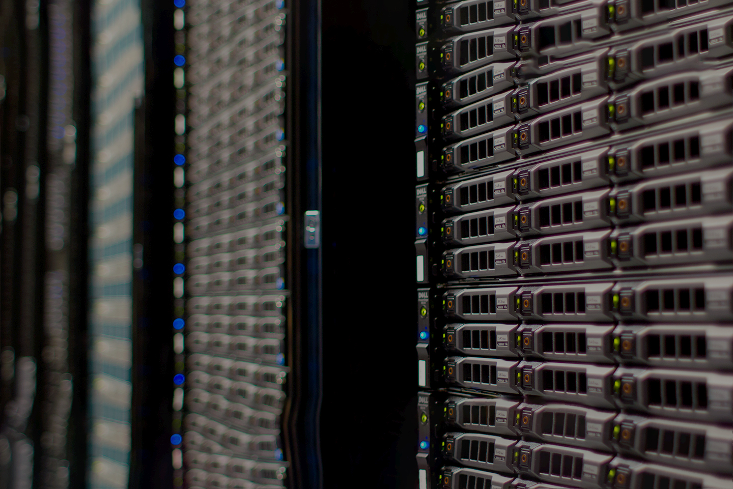
Infrastructure design
We offer infrastructure design in order to prepare your environment, whether it is a network (inter-system communication management, routers...), hardware (servers, computers...) or software (application, web servers...).
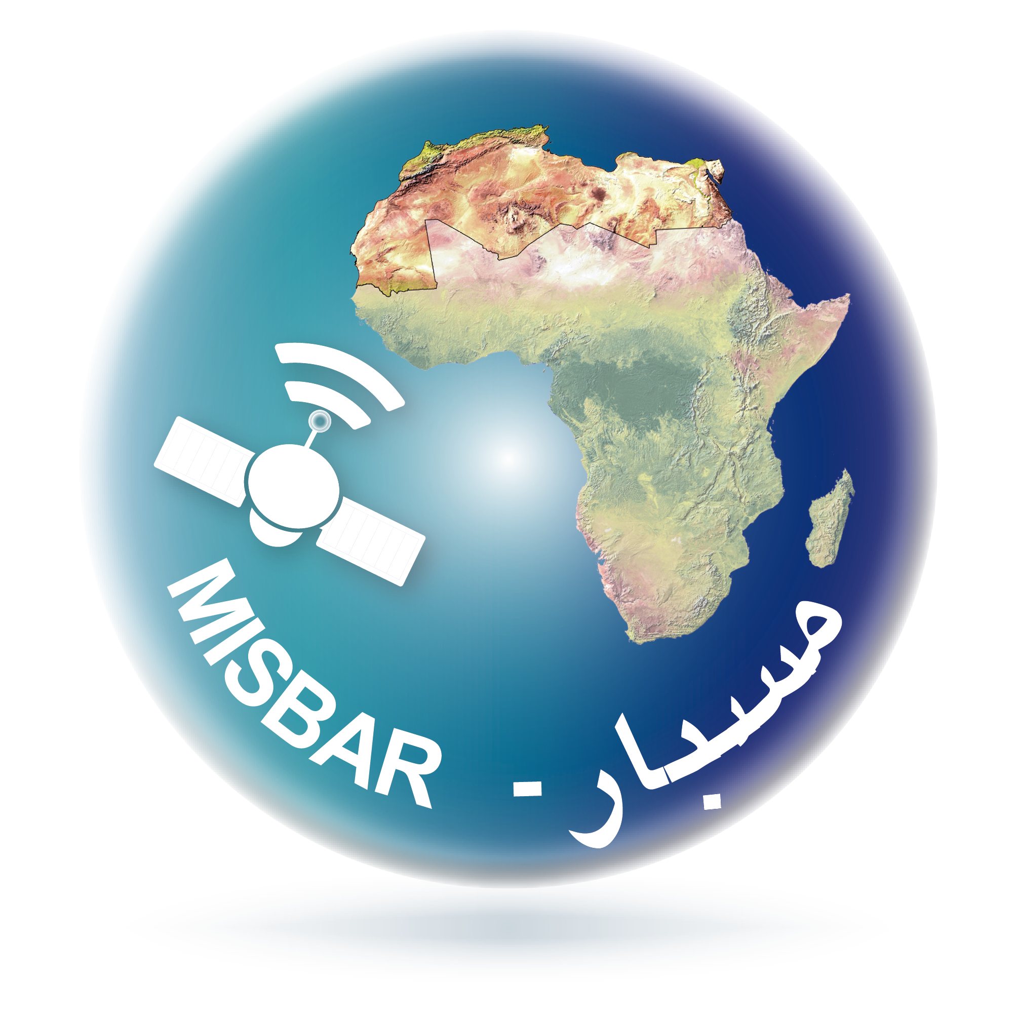
A development and integration service for platforms such as MISBAR
Do you want to get a platform using satellite data for purposes such as forest monitoring agriculture monitoring and other applications? We propose you to work together to realize one of these projects.
Geoservices for free access to earth observation data
We offer you access to geoservices allowing you to access continuously updated earth observation data.
![]()